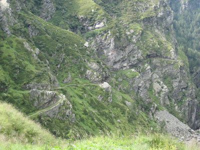
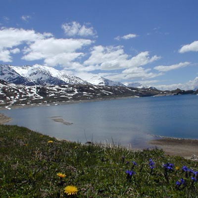
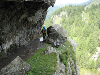
Leave Innerferrera on a steep climb to the Val Niemet towards the south west. A trail on the valley floor leads to the Niemet pass at the Italian border. The trail leads down to the Bertacchi hut, on a viewpoint on the shores of the Emet lake, then to Montespluga Lake and through the Gola del Cardinello gorge. Here an old mule track was cut into the vertical rock face all the way to Isola.
Detailed route description

Link to more route details: www.komoot.de/collection/901145/-via-alpina-5-10
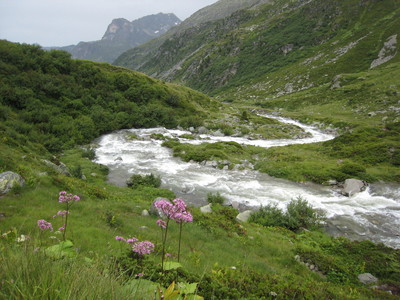
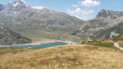
As suggested by the name Innerferrera, various iron ore deposits can be found in the surrounding area. Manganese was also quarried in parts. The ore extracted by around 20 miners was transported by horse and cart to Thusis, where it was loaded onto trains. The smelting was first undertaken in Germany. The mining activity came to an end in 1920. The building of a power station by “Kraftwerke Hinterrhein” had a major effect on the region. In order for the reservoir wall of the imposing barrage to lie on Swiss territory, a territorial exchange was made in 1962/63 between Switzerland and Italy. Walk through the lonely Niemet valley, which was frequently used in earlier days for smuggling between Italy and Switzerland, to reach the Niemet pass. This pass is also the Swiss/Italian border. Don’t forget your passport or i.d. card! Pass the Emet lake to reach the hospitable “Rifugio Bertacchi CAI” hut. The trail then continues to the north and passes the Andossi lake to the Monte Spluga lake. It is always worth while to make the detour to the high-altutide area of Mount Spluga. Next, the trail leads alongside the lake and through the imposing and historically significant Cardinellschlucht ravine to Isola.
(Bündner Wanderwege BAW)
Natural and cultural heritage
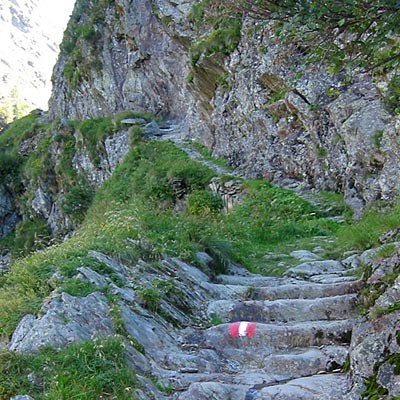
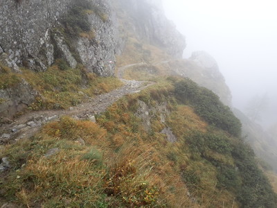
Isola (1268m): part of the administrative area of Madesimo. It was an important centre from ancient times. The road to the Spluga pass went through it, an important pass linking Italy and Central Europe through the Cardinello Gorge. The gorge was already used in Roman times and, at intervals, in the middle ages. Access is via the old bridleway cut into the vertical rock face that towers over the Liro stream. It climbs gently for over 500m. The trail is comfortably wide at all times, and even has a handrail in parts. At certain points it is truly impressive. In December of 1800, Napoleonic troops led by General McDonald ventured up the Cardinello Gorge with the loss of many men and animals and their loads, all swept into the gully by snow drifts. The trail goes through the superb hamlet of Rasdeglia, with its perfectly preserved, rustic architecture, and heads to the Mottaletta peak, accessible by car via road from Isola.
(Regione Lombardia)
Useful topographic maps
-
T 268 Julierpass ~ Swisstopo (1: 50'000)
-
T 267 San Bernardino ~ Swisstopo (1: 50'000)
-
92 ~ kompass (2.0833333333333335)
Useful guidebooks
-
Hinterrhein ~ BAW Bündner Wanderwege (ISBN 3-729-81136-3)
Websites relative to natural and cultural heritage
Last update : 2019-12-17

 |
6h50 |
19.8 km
|
828 m
|
1022 m




Favourites, criticisms ? Make your personal comments on this stage. For more general notes please use the comments section of the page Over to the Via Alpinists.