|
Create your own guidebook
Location
Key to symbols

|
 |
4h35 |
12.34 km
|
1100 m
|
1079 m |
4h35 |
12.34 km
|
1100 m
|
1079 m
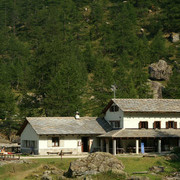
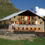
From the Jervis hut the path climbs through larches and over scree slopes to the Granero hut, along the right bank of the Pellice river. From the Granero hut the trail heads right towards the Adret del Laus and on to the Manzol pass between the Pellice and Pis valleys. At the bottom of the valley, the trail continues downwards to Grange del Pis and the Barbara Lowrie hut.
Other long-distance trails and alternative routes
Climbs possible to: Mt.Agugliassa, Mt.Manzol, Mt.Granero, Mt. Frioland, Mt.Meidassa. Walks: Mount Viso hut to the Seillieres pass; the Pian del Re hut to the Luisas pass.
Useful topographic maps
Useful guidebooks
Websites relative to natural and cultural heritage
Tourist offers
Last update : 2013-06-14
|
||||||||||||||||||||||||||||||||||||||||||||||||||||||||||||||||||||||||||||||||||||||||||||||||||||||||||||||||||||||||||||||||||||||||||||||||||||||||||||||||||||||||


Favourites, criticisms ? Make your personal comments on this stage. For more general notes please use the comments section of the page Over to the Via Alpinists.