|
|
|
B17
|
Rifugio Pordenone » Rifugio Padova
|
|
The route passes the steeple of Val Montanaia and then heads up to the Montanaia pass. Here, a difficult trail leads down into Cadin d’Arade Valley until it meets Pra di Toro Valley and the Padova hut.
Detailed route description

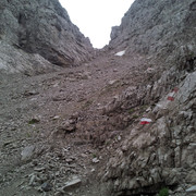
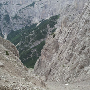
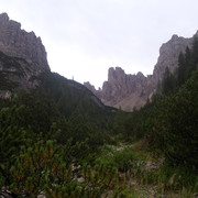
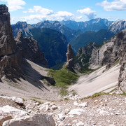
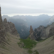
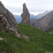
From the Pordenone hut, follow trail 353 which heads northwards running the full length of the Montanaia valley, passing the foot of the famous monolith known as the Campanile of Val Montanaia. The trail leads up steep scree slopes to the Forcella Montanaia pass (2333m), and then down into Cadin d’Arade to where it meets the Pra di Toro Valley. From here, trail 342 leads to the Padova hut (1287m), the end of the stage.
(Regione Friuli Venezia Giulia)
Natural and cultural heritage

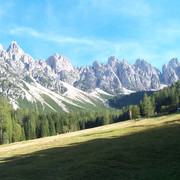
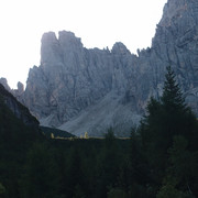
The route passes the foot of the stunning monolithic peak of the Campanile of Val Montanaia, known to climbers throughout Europe as the “Urlo di pietra” (stone shout). The harsh environment here is awe-inspiring. Beyond the high Montanaia pass the trail is in the shadow of the imposing Mount Cridola, whereas the Padova hut is overshadowed by the jagged peaks of the Mount Spalti di Toro.
(Regione Friuli Venezia Giulia)
Other long-distance trails and alternative routes
Alta Via n. 6 dei Silenzi trail.
Useful topographic maps
-
02 e 016 ~ TABACCO (1:25000)
-
Foglio B ~ TABACCO - Carnia Trekking (1:25000)
Useful guidebooks
-
Dolomiti di Sinistra Piave e prealpi carniche ~ Edizioni Dolomiti (ISBN 88.85080.04.9)
-
Dolomiti Orientali - vol. II ~ CAI - TCI (ISBN )
-
Alta Via n. 6 dei Silenzi ~ Guide Tamari n. 8 (ISBN )
-
Via Alpina Gelber Weg, Evamaria Wecker ~ Bruckmann (ISBN 978-3-7654-4858-7)
Last update : 2013-10-09

 |
4h50 |
8 km
|
1165 m
|
1127 m
|
4h50 |
8 km
|
1165 m
|
1127 m




Favourites, criticisms ? Make your personal comments on this stage. For more general notes please use the comments section of the page Over to the Via Alpinists.