|
|
|
B14
|
Ovaro » Sauris di Sotto
|
|
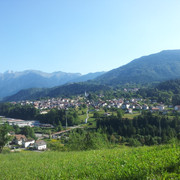
From Ovaro the trail goes past the hamlet of Mione and up to the Forcella pass to the Casera Losa hut. Then on to Casera Gerona and Casera Pieltinis pastures to complete the stage down at Sauris di Sotto.
Detailed route description

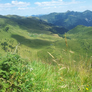
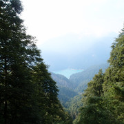
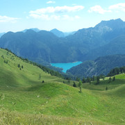
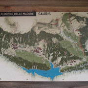
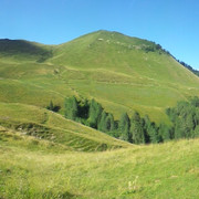
From Ovaro, head over the Degano stream, through the hamlets of Cella and Mione (710m). Follow a broad track upwards to Stavolo di Chèbia, the Forcella pass (1824m) and Casera Forchia (1730m). Then comes a long traverse westwards, winding up and down along steep, grassy slopes, through the Sauris range. The trail reaches the Casera Losa hut (1765m) where it is possible to spend the night, and then heads up to an altitude of 1491m where, near Casera Gerona, the route leaves trail 220 and branches right into 206 which leads to Casera Pieltinis (1739m). From here, follow trail 218 down to Sauris di Sotto (1212m). Eastwards views stretch to the Alps of the Giulia region. To the north, the Pesarina valley and Pesarina Dolomites loom. Beyond these is the Piave river valley in the high Cadore. To the west are the Comelico Dolomites and, beyond these, the unmistakable Sesto Dolomites. To the south, at the bottom of a basin, lies the emerald Lake Sauris surrounded by a thriving spruce and beech wood, and all around the mountains separate this oasis from the valley of the Lumiei stream.
(Regione Friuli Venezia Giulia)
Natural and cultural heritage

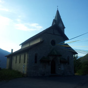
During the summer the alpine huts offer Spartan lodgings and sell their own cheese and the local smoked ricotta speciality. Throughout the Carnia region a sort of cuisine has developed which, though based on traditional recipes, makes room for interesting twists on an old theme. The village of Sauris and the surrounding hamlets lie on gentle slopes, pastures that are typical of this superb landscape. The population of this area are ethnically German and have maintained their architectural and ethnic traditions, as well as their language, a version of old, high German.
(Regione Friuli Venezia Giulia)
Useful topographic maps
-
02 ~ TABACCO (1:25000)
-
Foglio B ~ TABACCO - Carnia Trekking (1:25000)
Useful guidebooks
-
Andar per monti in Friuli Venezia Giulia ~ Istituto Geografico de Agostini (ISBN 88.402.9640.9)
-
Alpi Carniche, vol. I ~ CAI - TCI (ISBN 88.365.0344.6)
-
Alpi Carniche, vol. II ~ CAI - TCI (ISBN 88.365.0807.3)
-
Via Alpina Gelber Weg, Evamaria Wecker ~ Bruckmann (ISBN 978-3-7654-4858-7)
Last update : 2009-12-03

 |
6h15 |
22 km
|
1295 m
|
395 m
|
6h15 |
22 km
|
1295 m
|
395 m




Favourites, criticisms ? Make your personal comments on this stage. For more general notes please use the comments section of the page Over to the Via Alpinists.