|
|
|
B11
|
Resiutta » Rifugio Grauzaria
|
|
The trail first leads down to Moggio Udinese. After Moggessa it climbs through the valley of the Glagnò Torrent to Nuviernulis Pass. On the way down the trail goes through Foran da la Gjaline to the nearby Grauzaria Hut.
Detailed route description

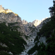
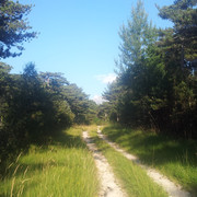
From Resiutta cross the Resia stream (trail 743) near the hamlet of Povici di Sotto. The trail then climbs steeply to the Stavoli Lavorada peak (446m), and heads down northwards towards the SS13 road to Pontebbana. At Ponte (306m), cross the River Fella and head to Moggio Udinese, where there is an Abbey, a convent for the closed order of Saint Clara. Follow the bridleway (trail 418) through the hamlets of Riu, Moggessa di Qua and Moggessa di Là. At the following fork, take the turning on the right, trail 419, back up through the stunning scenery of the difficult valley of the Glagnò stream to the Forca Nuviernulis pass (1732m). The terrain is rough on the way down to Foran da la Gjaline (1560m), after which trail 437 leads to the Grauzaria hut (1250m).
(Regione Friuli Venezia Giulia)
Natural and cultural heritage

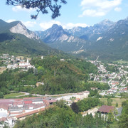
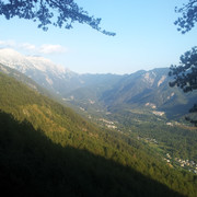
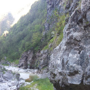
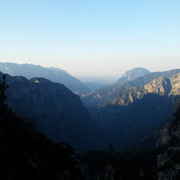
Moggio Udinese lies on the banks of the river Fella, at its junction with the Aupa stream. The church is worth a visit, with its frescoes and wooden statues, as is the Abbey, which has been rebuilt and is still home to the nuns of the closed order of Saint Clara. The landscape of the Aupa valley is severe, and subject to continuous changes in the mountains. Here begins the Carnia region of the Alps where stony peaks tower above green woods. From Moggio Udinese, those who are not climbers and therefore wish to avoid the difficulties of trail 419 will head for Campiolo and take trail 417, through rather wild landscapes, to Illegio, where the trail rejoins the main route to Tolmezzo. The Via Alpina trail goes through the abandoned villages of Moggessa di Qua and Moggessa di Là and heads into the Glagnò stream valley, with its regal atmosphere, between the steep slopes of Mt. Nuviernulis those of Creta Grauzaria and the Cima dei Gjai peak, where the high Nuviernulis pass separates it from Mount Sernio. These lands are poor, and those who live here struggle against the often violent forces of nature. The cuisine is therefore also poor, but tasty. At higher altitude there are a few thin pastures where the high passes permit access to other deep green valleys of the eastern Carnia region. There are some buildings (the Grauzaria and Casera del Mestri huts) that offer shelter to climbers and walkers and all those who seek out the beauty of silence. There are minor ungulates in the area: the Greek Partridge, the Hazel Grouse and the Eagle.
(Regione Friuli Venezia Giulia)
Other long-distance trails and alternative routes
Connection to the Red trail: hike along trail nr. 435 “Alta via Val d’Incaroio” to Cason di Lanza pass and hut. Then reach the Pramollo pass, state border to the Austrian Republic, where Via Alpina Red Trail comes along.
Useful topographic maps
-
018 ~ TABACCO (1:25000)
-
013 ~ TABACCO (1:25000)
Useful guidebooks
-
Andar per monti in Friuli Venezia Giulia ~ Istituto Geografico de Agostini (ISBN 88.402.9640.9)
-
Alpi Carniche, vol. I ~ CAI - TCI (ISBN 88.365.0344.6)
-
Via Alpina Gelber Weg, Evamaria Wecker ~ Bruckmann (ISBN 978-3-7654-4858-7)
Last update : 2009-12-03

 |
9h20 |
28.5 km
|
3373 m
|
2440 m
|
9h20 |
28.5 km
|
3373 m
|
2440 m




Favourites, criticisms ? Make your personal comments on this stage. For more general notes please use the comments section of the page Over to the Via Alpinists.