|
Create your own guidebook
Location
Key to symbols

|
 |
4h55 |
12.3 km
|
736 m
|
1283 m |
4h55 |
12.3 km
|
736 m
|
1283 m
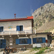
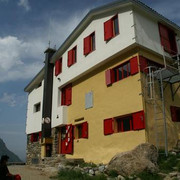
From the Morelli hut the trail leads upwards, across the Lourousa valley scree slopes to the Chiapous pass, where a steep trail descends to Lake Chiotas. It then climbs the Fenestrelle valley to the pass, beyond which, mostly along rocky terrain, it loses altitude until the Pianoro del Praiet plain. A brief climb along the road leads to the Ellena-Soria hut.
Other long-distance trails and alternative routes
Grande Traversata delle Alpi trail. Useful topographic maps
Useful guidebooks
Websites relative to natural and cultural heritage
Tourist offers
Last update : 2019-12-18
|
|||||||||||||||||||||||||||||||||||||||||||||||||||||||||||||||||||||||||||||||||||||||||||||||||||||||||||||||||||||||||||||||||||||||||||||||||||||||||||||||||||||||||||||||||


Favourites, criticisms ? Make your personal comments on this stage. For more general notes please use the comments section of the page Over to the Via Alpinists.