|
Create your own guidebook
Location
Key to symbols

|
 |
4h10 |
12.39 km
|
715 m
|
915 m |
4h10 |
12.39 km
|
715 m
|
915 m
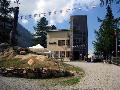
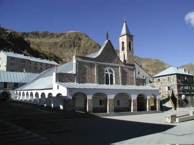
From the shrine of Sant’Anna di Vinadio the tail follows the road to the lake of the Sant'Anna pass, leaving it to proceed along the ridge, on the French-Italian border. It then meets the road to the Lombarda pass, which leads down before another climb to the Orgials pass. A steep trail heads down into the Rio Freddo river valley, at the bottom of which is the Malinvern hut.
Detailed route description

Useful topographic maps
Useful guidebooks
Websites relative to natural and cultural heritage
Tourist offers
Picture gallery
Add your own pictures!
Last update : 2019-12-17
|
|||||||||||||||||||||||||||||||||||||||||||||||||||||||||||||||||||||||||||||||||||||||||||||||||||||||||||||||||||||||||||||||||||||||||||||||||||||||||||||||||||||||||||||||||


Favourites, criticisms ? Make your personal comments on this stage. For more general notes please use the comments section of the page Over to the Via Alpinists.