|
Create your own guidebook
Location
Key to symbols

|
 |
4h55 |
15.8 km
|
911 m
|
699 m |
4h55 |
15.8 km
|
911 m
|
699 m
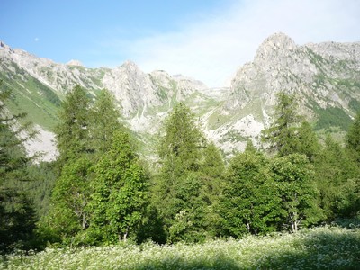
This stage cuts across the northern slopes of Val Maira valley, keeping mostly level, about halfway up. From Ussolo the trail climbs, passing near Punta Colour and high above Acceglio, and then it heads back down to the bottom of the valley to Chiappera, within eyeshot of the imposing peak of Mount Rocca Provenzale.
Other long-distance trails and alternative routes
Percorsi Occitani Useful topographic maps
Useful guidebooks
Websites relative to natural and cultural heritage
Picture gallery
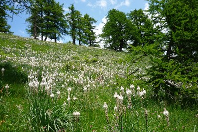
Add your own pictures!
Last update : 2013-06-13
|
|||||||||||||||||||||||||||||||||||||||||||||||||||||||||||||||||||||||||||||||||||||||||||||||||||||||||||||||||||||||||||||||||||||||||||||||||||||||||||||||||||||||||||


Favourites, criticisms ? Make your personal comments on this stage. For more general notes please use the comments section of the page Over to the Via Alpinists.