|
|
|
D48
|
Rifugio Savigliano » Chiesa di Bellino
|
|
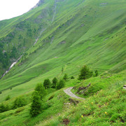
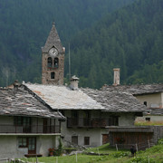
From the Savigliano hut the trail heads down towards Lake Castello, circling the southern shores for a stretch. It then heads up the grassy ridge to the Battagliola pass, then heading down towards the bottom of Varaita di Bellino valley, stopping at the hamlet of Chiesa.
Useful guidebooks
-
Monviso e le sue valli, vol.l Valli Varaita, Bellino e Pontechianale, valle del Guil, Berutto G. ~ Torino (ISBN 1997)
-
Camminaitalia, Cannobini, Carnovalini, Valsesia ~ Le guide di Airone, Mondadori (ISBN 1995)
-
Escursioni: gruppo del Monviso, itinerari fuori porta, Casanova O. ~ Verona (ISBN 1997)
Picture gallery


Last update : 2013-07-10

 |
3h10 |
8.58 km
|
718 m
|
942 m
|
3h10 |
8.58 km
|
718 m
|
942 m


Favourites, criticisms ? Make your personal comments on this stage. For more general notes please use the comments section of the page Over to the Via Alpinists.