|
Create your own guidebook
Location
Key to symbols

|
 |
2h25 |
9.1 km
|
266 m
|
1075 m |
2h25 |
9.1 km
|
266 m
|
1075 m
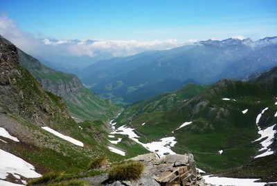
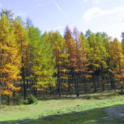
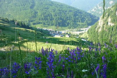
From the Lago Verde hut, the trail leads through pastures to a mule track which climbs to the Abriès pass (also called Col St Martin), and the border with France. The route runs alongside the stream of the St Martin pass, overlooked by the Grand Queyron standing at over 3,000m, and then enters the forest before reaching the hamlet of Roux, the stage destination.
Detailed route description

Useful topographic maps
Useful guidebooks
Websites relative to natural and cultural heritage
Tourist offers
Picture gallery
Add your own pictures!
Last update : 2011-02-08
|
||||||||||||||||||||||||||||||||||||||||||||||||||||||||||||||||||||||||||||||||||||||||||||||||||||||||||||||||||||||||||||||||||||||||||||||||||||||||||||||||||||||||


Favourites, criticisms ? Make your personal comments on this stage. For more general notes please use the comments section of the page Over to the Via Alpinists.