|
Create your own guidebook
Location
Key to symbols

|
 |
4h05 |
12.26 km
|
835 m
|
812 m |
4h05 |
12.26 km
|
835 m
|
812 m
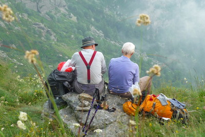
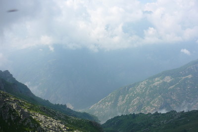
This stage leads to Piantonetto Valley, an offshoot of Orco Valley. Most of the trail is within the Gran Paradiso national park. From Talosio to San Lorenzo the trail hits almost 2200 metres, along a pleasant crossing in typically alpine surroundings, with pastures, woods and great views.
Detailed route description

Other long-distance trails and alternative routes
The trail follows the route of GTA stage 229.
Useful topographic maps
Useful guidebooks
Picture gallery
Add your own pictures!
Last update : 2013-07-17
|
|||||||||||||||||||||||||||||||||||||||||||||||||||||||||||||||||||||||||||||||||||||||||||||||||||||||||||||||||||||||||||||||||||||||||||||||||||||||||||||||||||||||||||||||||


Favourites, criticisms ? Make your personal comments on this stage. For more general notes please use the comments section of the page Over to the Via Alpinists.