|
Create your own guidebook
Location
Key to symbols

|
 |
3h45 |
10.2 km
|
439 m
|
1325 m |
3h45 |
10.2 km
|
439 m
|
1325 m
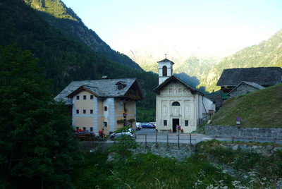
From the Ferioli hut the trail goes down quickly to Pedemonte, crossing wide meadows until the Alpe Mud and entering the wood. From Pedemonte, it follows the bottom of the valley, passing Alegna Valsesia and then Riva Valdobbia. Going up the Vogna valley, it reaches the small village of Sant'Antonio.
Detailed route description

Other long-distance trails and alternative routes
The trail follows the GTA route, stage 238.
Useful topographic maps
Useful guidebooks
Websites relative to natural and cultural heritage
Tourist offers
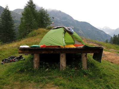
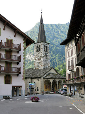
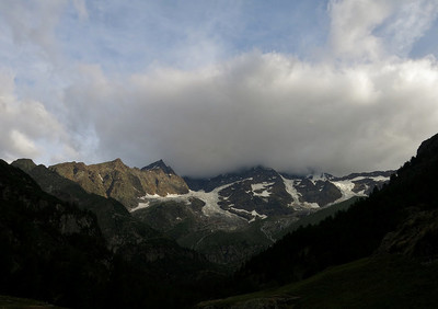
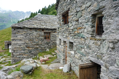
Picture gallery
Add your own pictures!
Last update : 2017-09-28
|
|||||||||||||||||||||||||||||||||||||||||||||||||||||||||||||||||||||||||||||||||||||||||||||||||||||||||||||||||||||||||||||||||||||||||||||||||||||||||||||||||||||||||||||||||


Favourites, criticisms ? Make your personal comments on this stage. For more general notes please use the comments section of the page Over to the Via Alpinists.