|
Create your own guidebook
Location
Key to symbols

|
 |
7h50 |
11.3 km
|
1565 m
|
665 m |
7h50 |
11.3 km
|
1565 m
|
665 m
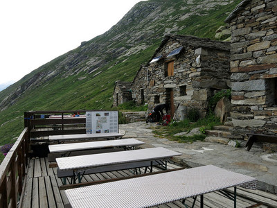
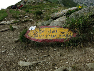
This is a long stage involving substantial altitude differences. It can be divided into two parts, spending one night at Rima. From Carcoforo, the trail climbs to the Termo pass and then goes down significantly to Rima. There is a second long climb to the Mud pass, and nearby is the Ferioli hut.
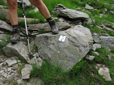
Detailed route description

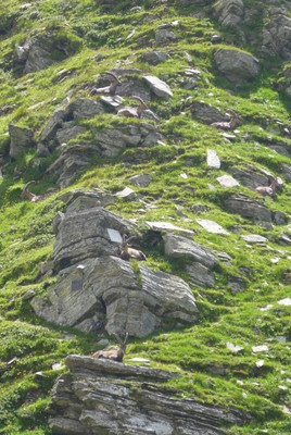
Natural and cultural heritage
Other long-distance trails and alternative routes
The trail partly follows the route of GTA route 249 from Carcoforo to Rima.
Useful topographic maps
Useful guidebooks
Websites relative to natural and cultural heritage
Tourist offers
Picture gallery
Add your own pictures!
Last update : 2021-09-27
|
|||||||||||||||||||||||||||||||||||||||||||||||||||||||||||||||||||||||||||||||||||||||||||||||||||||||||||||||||||||||||||||||||||||||||||||||||||||||||||||||||||||||||||||||||


Favourites, criticisms ? Make your personal comments on this stage. For more general notes please use the comments section of the page Over to the Via Alpinists.