|
Create your own guidebook
Location
Key to symbols

|
 |
10h30 |
25.3 km
|
1447 m
|
571 m |
10h30 |
25.3 km
|
1447 m
|
571 m
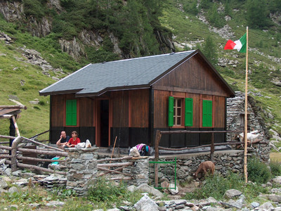
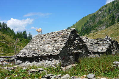
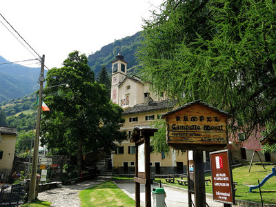
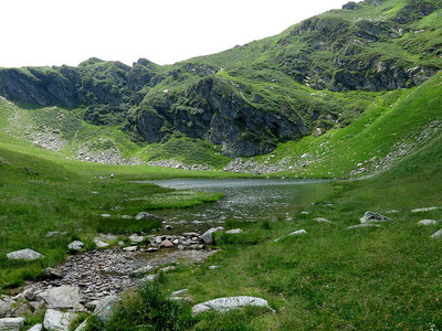
From Madonna della Gurva the trail cuts through woods and pastures until it reaches Alpe Camino and then Alpe Lago. Past the hut, now in ruins, the trail proceeds towards the Usciolo pass. Beyond the pass, the trail descends to Campello Monti.
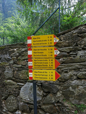
Detailed route description

Other long-distance trails and alternative routes
From Campello Monti it is possible to climb to the top of Mount Capezzone and Mount Capio.
Useful topographic maps
Useful guidebooks
Websites relative to natural and cultural heritage
Picture gallery


Add your own pictures!
Last update : 2010-05-05
|
||||||||||||||||||||||||||||||||||||||||||||||||||||||||||||||||||||||||||||||||||||||||||||||||||||||||||||||||||||||||||||||||||||||||||||||||||||||||||||||||||||||||||||||||||||||||||


Favourites, criticisms ? Make your personal comments on this stage. For more general notes please use the comments section of the page Over to the Via Alpinists.