|
|
|
D9
|
Rifugio Andolla » Antronapiana
|
|
This is a pleasant stage, particularly around Lake dei Cavalli. From Cheggio there is an old mule track that steers clear of the road though it is heavily overgrown in parts.
Detailed route description

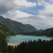
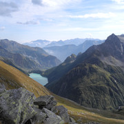
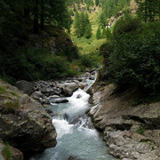
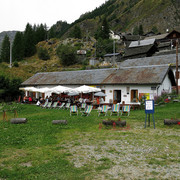
This short stage ends with a descent into the bottom of the Antrona valley. From the Andolla hut, a pleasant trail takes the walker through broad pastures, running alongside the Loranco stream for a stretch until, entering a wood, it hits the vast Lake Alpe dei Cavalli. The trail circles the basin and crosses the dam downstream, heading to Alpe Cheggio, a large village which is linked by road to the bottom of the valley. Near Alpe Cheggio is the Città di Novara hut. From Alpe Cheggio continue downhill, avoiding the road by following an old bridleway which is rather overgrown in parts. At the bottom lies Antronapiana. Another couple of kilometres further on towards Lake Antrona is the Hotel Lagopineta.
(Regione Piemonte)
Natural and cultural heritage

The following activities are possible in this area: mountaineering, climbing, trekking, Nordic skiing, downhill skiing, cross-country skiing, nature walks – flora and fauna, snow walking using ski rackets, horse-riding, cycling.
(Regione Piemonte)
Other long-distance trails and alternative routes
There are secondary routes that climb to the top of the main peaks around the valley. The stage partly follows GTA stage 244.
Useful topographic maps
-
11 ~ IGC Domodossola e Val Formazza (1: 50000)
-
10 ~ IGC Monte Rosa (1: 50000)
Useful guidebooks
-
Camminaitalia, carnovalini, Cannobini, Valsesia ~ CAI-TCI (ISBN 1995)
Websites relative to natural and cultural heritage
Last update : 2010-05-05

 |
2h30 |
8.5 km
|
0 m
|
1005 m
|
2h30 |
8.5 km
|
0 m
|
1005 m




Favourites, criticisms ? Make your personal comments on this stage. For more general notes please use the comments section of the page Over to the Via Alpinists.