|
|
|
D8
|
Alpe il Laghetto » Rifugio Andolla
|
|
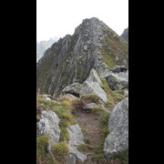
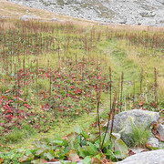
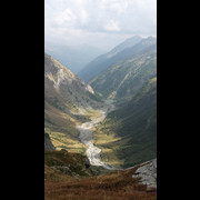
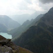
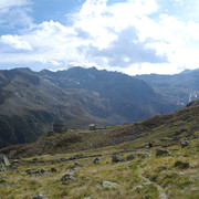
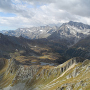
This trail, through pastures on the border between Switzerland and Italy, affords wonderful views and is pleasant, though at times rather exposed. The alpine lakes along the way are very striking, particularly those at Alpe Campo and Alpe Pontimia.
Easier alternative route
The trail segment between the Arsago Seprio hut and the cross-border pass into Switzerland is exposed and rather hard to make out.
Detailed route description

From the Arsago Seprio hut the trail cuts across the steep slope, about halfway up, to Alpe Campo which is surrounded by attractive lakes. At this stage the trail becomes steeper, and at some points quite exposed, until the Pontimia pass. Now on Swiss soil, the trail leads down to Alpe di Pontimia and then cuts across again, about halfway up, to Alpe Porcareccia. A steep trail then leads to the Andolla pass and back to Italy. After some tight bends and some pastures the trail leads to the Andolla hut.
(Regione Piemonte)
Natural and cultural heritage

The Antrona valley has some unusual socio-cultural traditions that are illustrated by the annual feasts of the "Autani", a term in dialect which means "litany". The closest Sunday to 25th July is the date of the Autani di San Giacomo, but the most important is the Autani dei 7 fratelli (the feast of the 7 brothers), a procession, documented since 1640 (but probably even older) which travels 21 km along a route that crosses pastures and passes the 7 most important peaks in the area. The aim of the procession is to exorcise disease in farm animals and avoid natural disasters through song and prayer. Men and women wear traditional costumes and walk from dusk till dawn. The Autani di San Giacomo procession is shorter and includes the villages further down the valley. The Walser population came here to colonize these valleys across the Moro pass.
(Regione Piemonte)
Other long-distance trails and alternative routes
Magnificent path in an environment characterised by alpine lakes and lush vegetation.
Useful topographic maps
-
11 ~ IGC Domodossala e Val Formazza (1: 50000)
-
10 ~ ICG Monte Rosa-Alagna-Macugnaga (1: 50000)
-
88 ~ Kompass Monte Rosa (1: 50000)
Useful guidebooks
-
"Escursionismo in Val d'Ossola-Antrona Bognanco", Crosa Lenz, Frangioni ~ GROSSI, ed 1994 (ISBN )
-
Andolla Sempione, Armelloni ~ CAI TCI, ed 1991 (ISBN )
-
Alpi Pennine, Saglio ~ CAI TCI, ed 1951 (ISBN )
Websites relative to natural and cultural heritage
Last update : 2011-04-28

 |
3h05 |
7.7 km
|
295 m
|
345 m
|
3h05 |
7.7 km
|
295 m
|
345 m




Favourites, criticisms ? Make your personal comments on this stage. For more general notes please use the comments section of the page Over to the Via Alpinists.