|
Create your own guidebook
Location
Key to symbols

|
 |
3h45 |
14.2 km
|
748 m
|
1299 m |
3h45 |
14.2 km
|
748 m
|
1299 m
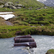
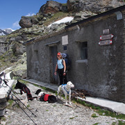
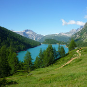
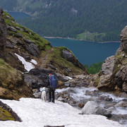
From the Margaroli hut the trail leads past Lake Vannino and up, through ample fields, towards the Scatta Minoia pass and the Conti bivouac. The trail is rocky towards Forno Inferiore, circles Lake Devero amongst pasture land, goes past Crampiolo and then finally reaches Alpe Devero.
Other long-distance trails and alternative routes
GTA (248) - Sentiero Italia trail: from Alpe Devero to Scatta Minoia, Alpe Vannino and Ponte Formazza. From the Conti bivouac, the following climbs are possible: Mt. Minoia, Punte della Satta peak, Punte di Curzalma peak, Mt. Forno. From the Castiglioni hut: Mt.Cervandone, Punta Rossa peak, Punta d'Arbola peak, Pizzo Crampiolo peak, Punta Valdeserta peak.
Useful topographic maps
Useful guidebooks
Websites relative to natural and cultural heritage
Last update : 2013-06-13
|
||||||||||||||||||||||||||||||||||||||||||||||||||||||||||||||||||||||||||||||||||||||||||||||||||||||||||||||||||||||||||||||||||||||||||||||||||||||||||||||||||||||||




Favourites, criticisms ? Make your personal comments on this stage. For more general notes please use the comments section of the page Over to the Via Alpinists.